




Welcome to Powers Corridor South
Powers Corridor South covers the east side of Colorado Springs between Academy Boulevard and Powers Boulevard, from about Airport Road and Fountain Boulevard north to Austin Bluffs Parkway and Stetson Hills Boulevard. Peterson Space Force Base and the Colorado Springs Airport sit at its southern end, and Cimarron Hills is next door to the east.
This is one of the larger stretches of the city, with established neighborhoods like Village Seven, regional shopping at both ends and quick routes to the base and the airport. The Johnson Team works here often and can help you compare streets, school districts and price points.
Where to Shop and Dine in Powers Corridor South
First & Main Town Center, southeast of Powers Boulevard and North Carefree Circle, is the area’s main shopping draw. It has more than 80 shops, restaurants and entertainment spots, and a Barnes & Noble with a café opened there in March 2026. On summer Fridays in June and July, the center hosts free concerts from 5 to 7 p.m.
On the west edge, The Citadel mall at Platte Avenue and Academy Boulevard has served the east side since March 1972, with JCPenney and Dillard’s as anchors. Farther north, the Powers Pointe center sits at Powers and Barnes Road.
Parks, Trails, and Outdoor Living in Powers Corridor South
High Chaparral Open Space gives you 54 acres and a figure-8 trail system of about two miles. Its ridge crest is the highest point in eastern Colorado Springs, with views south to the Spanish Peaks and west to the mountains. Park in the small lot off eastbound Stetson Hills Boulevard.
From that same lot, the southern Homestead Trail runs about five miles south to Radiant Drive, passing Old Farm, Rudy, Homestead, Villa Loma and Penrose parks. With a short street connection, you can ride it to Palmer Park, a 700-acre park with an outer loop of about eight miles. The Sand Creek Trail also crosses the area, including a section between Platte Avenue and Galley Road.
Schools in Powers Corridor South
Three public districts serve this part of town: Colorado Springs School District 11, Falcon School District 49 and Harrison School District 2. Doherty High School, a D11 school founded in 1975, and Sand Creek High School, which opened in D49 in 1997, both sit inside the area. Panorama Middle School and Wildflower Elementary belong to Harrison D2, and the James Irwin charter schools add another option. Boundaries change street by street, so confirm the district for any home you consider.
Finding the Right Home in Powers Corridor South
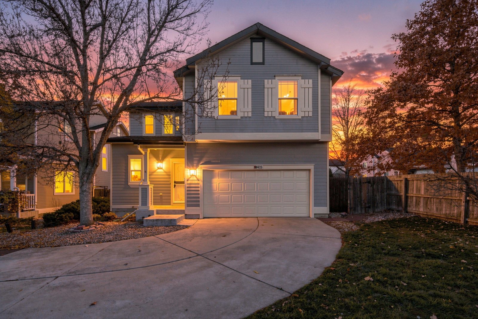
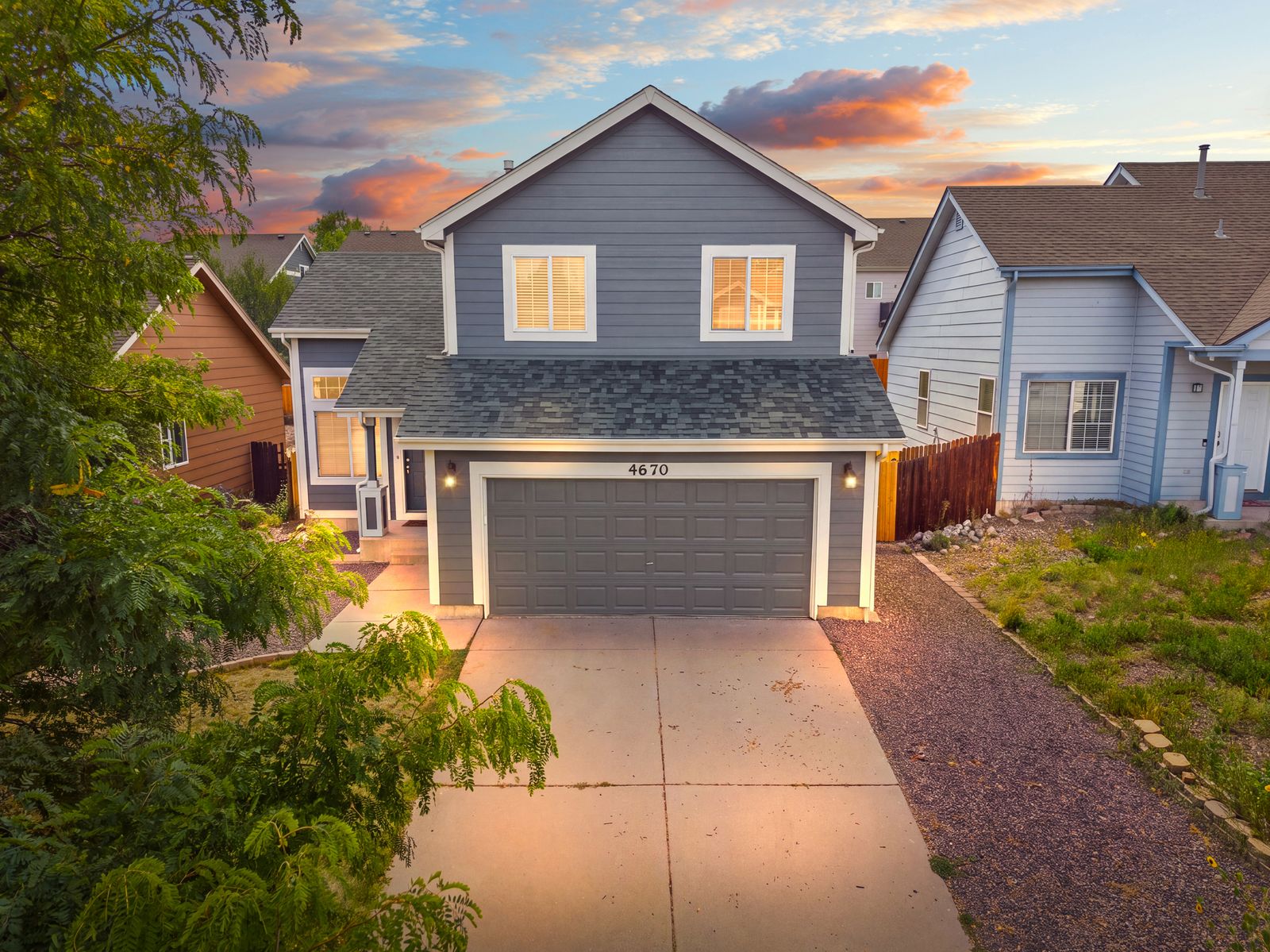
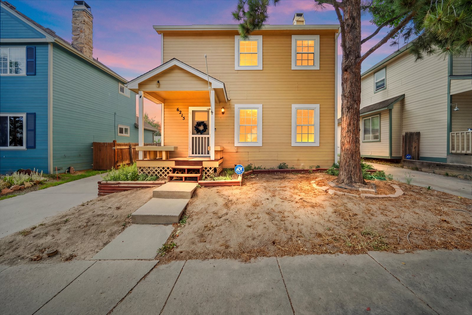
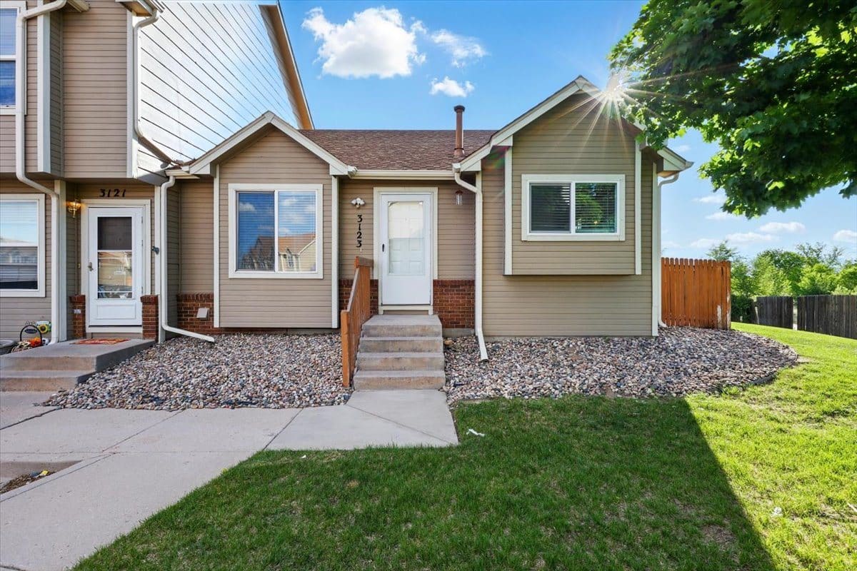
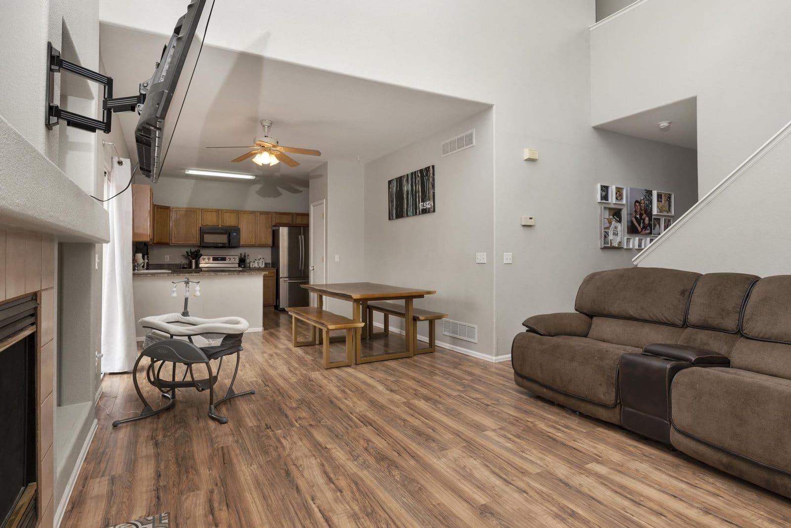
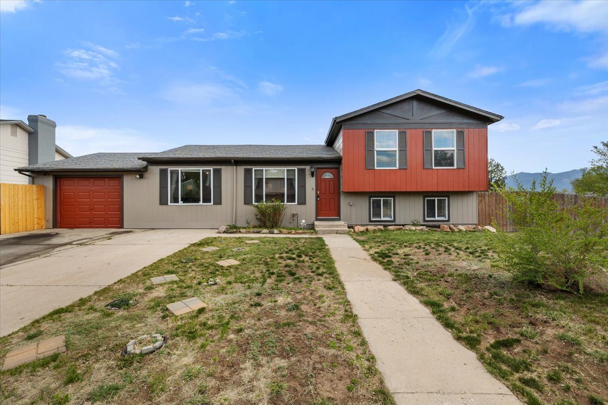
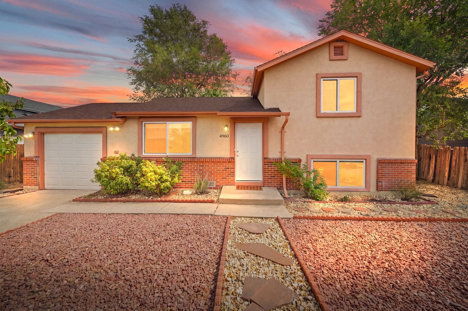
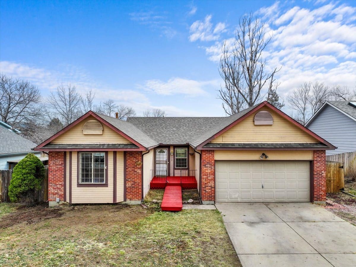
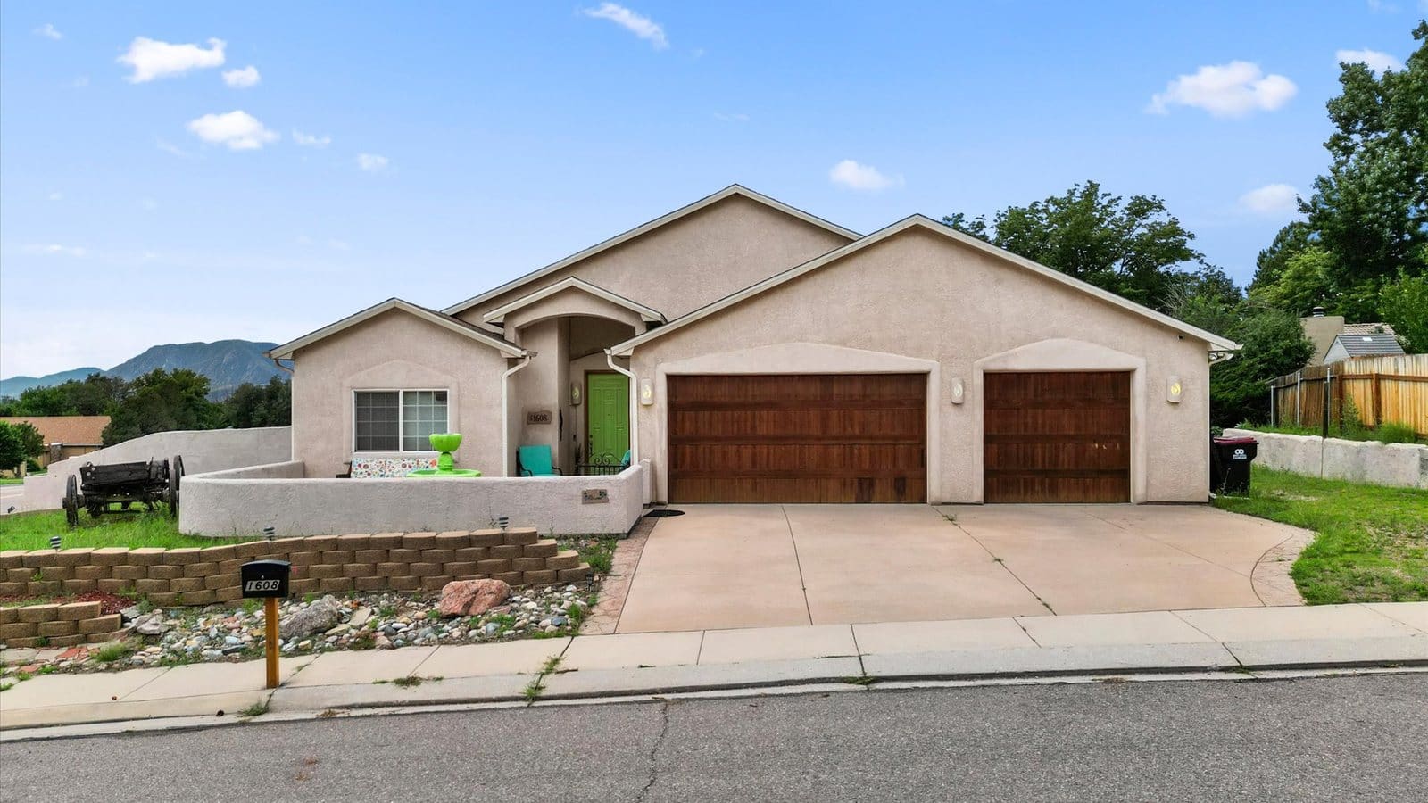
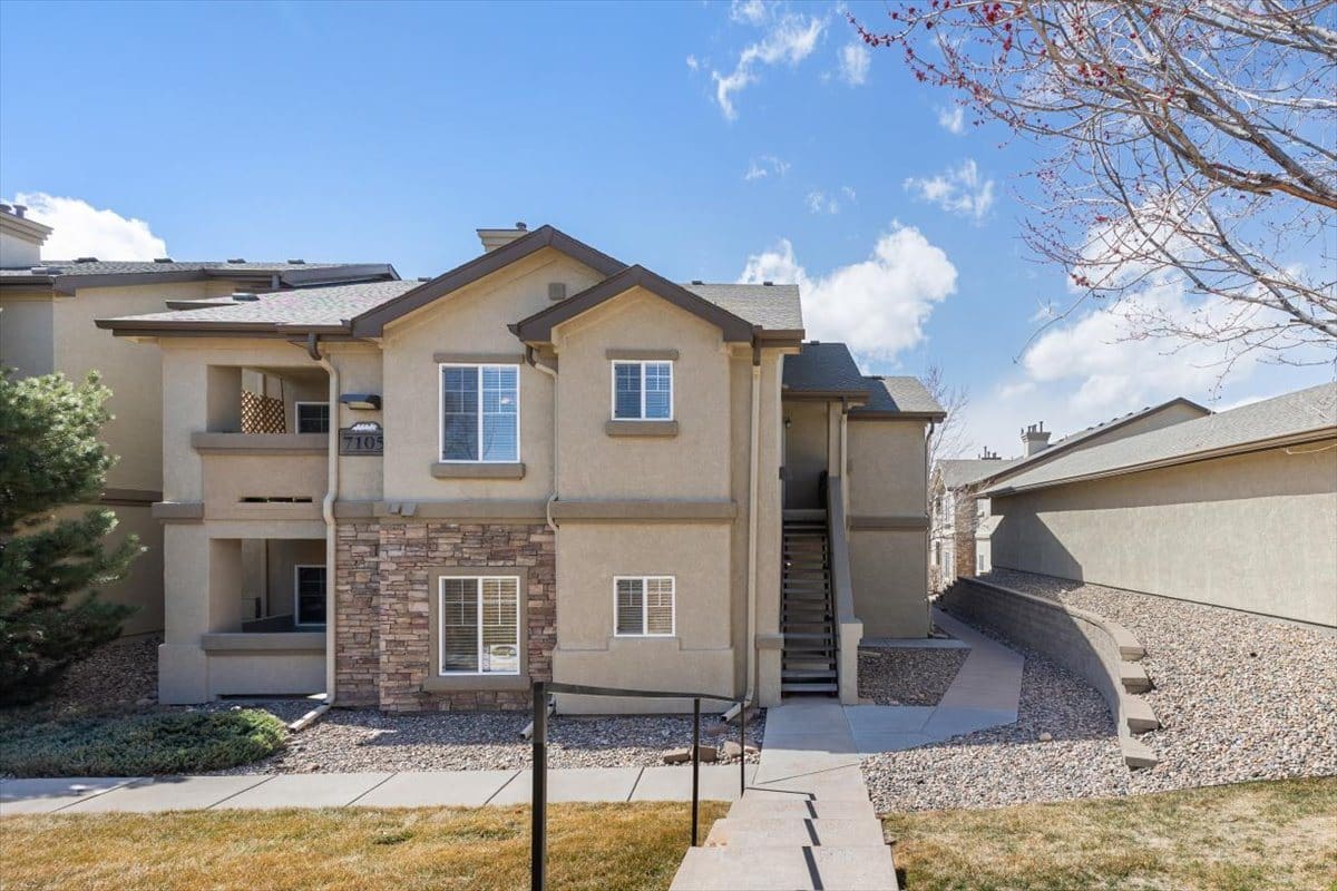
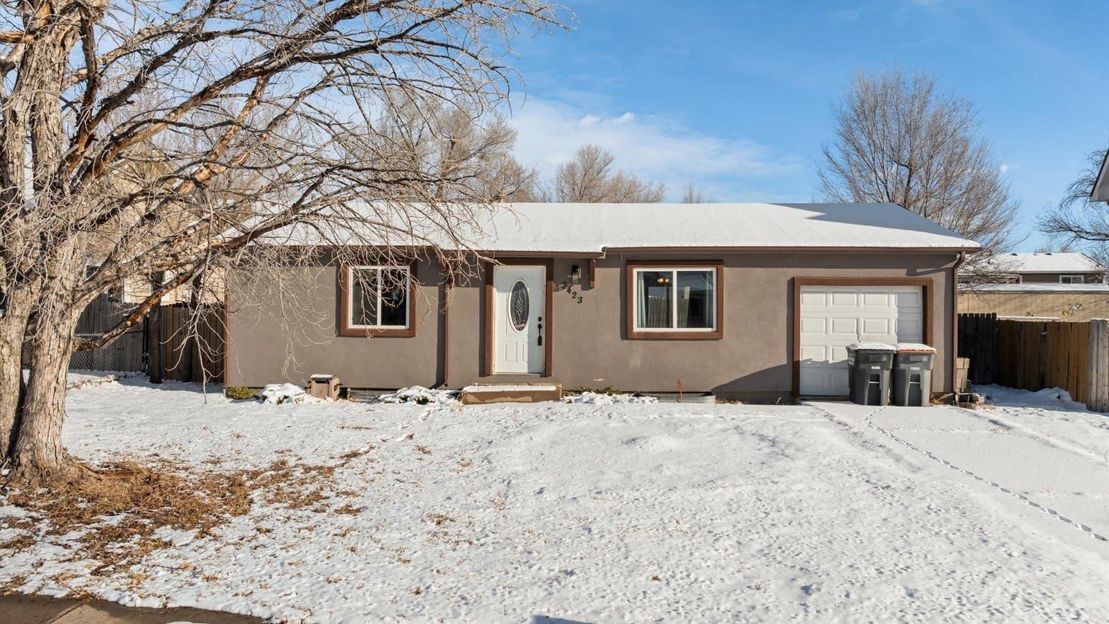
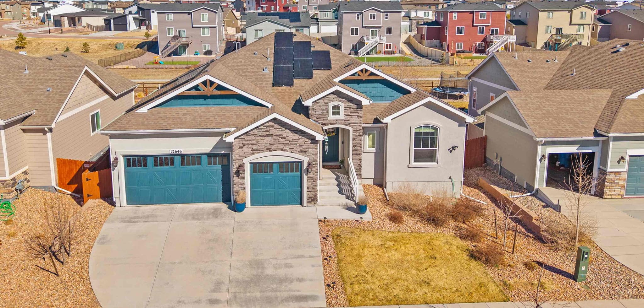
The median home here was built around 1990. Owners occupy about 72% of homes, and median home values run about $398,000.
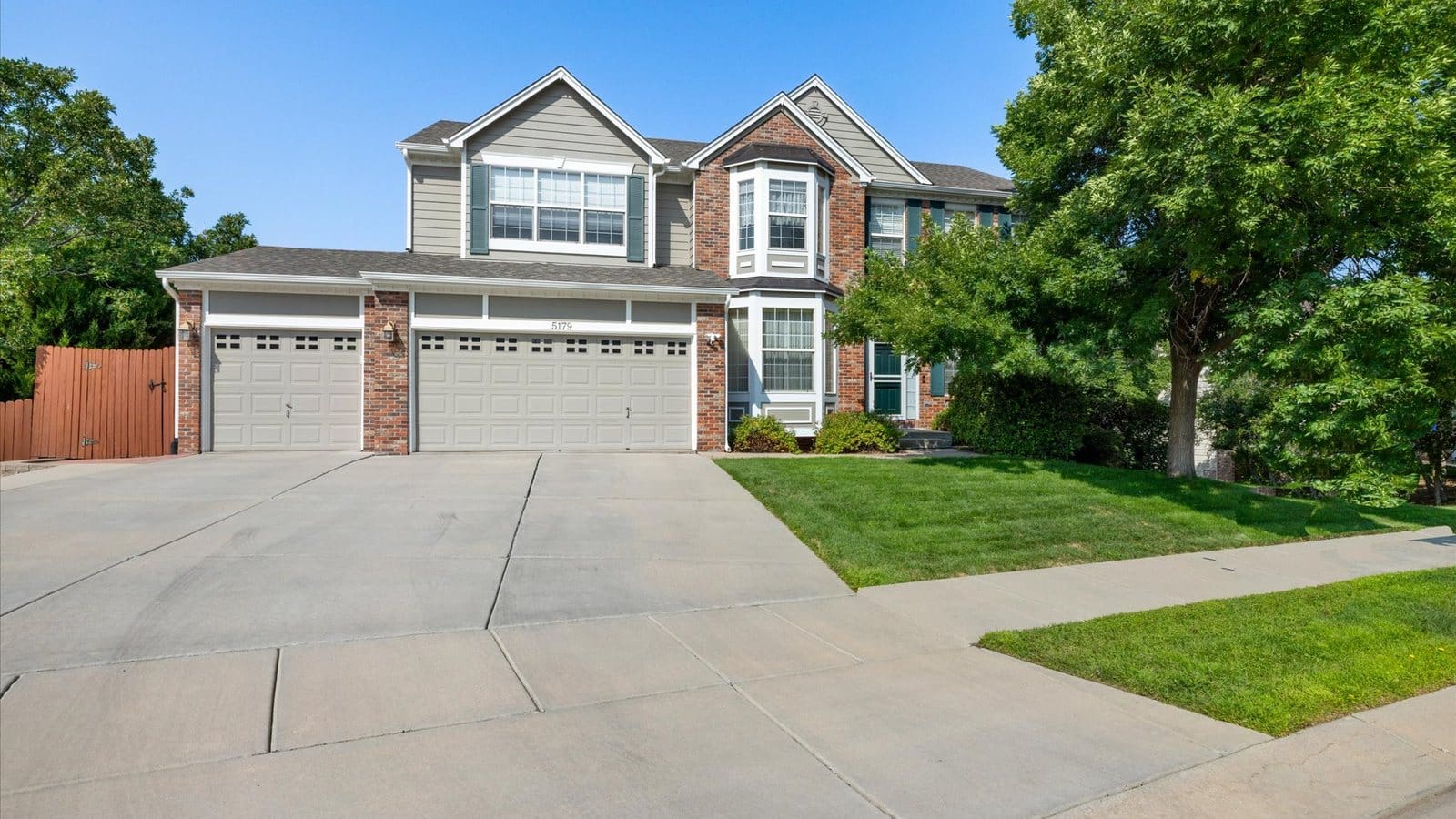
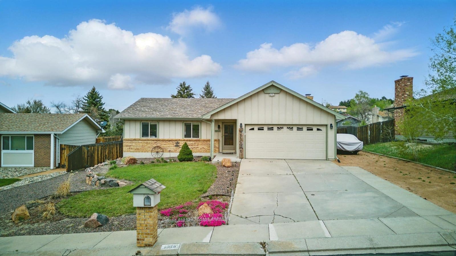
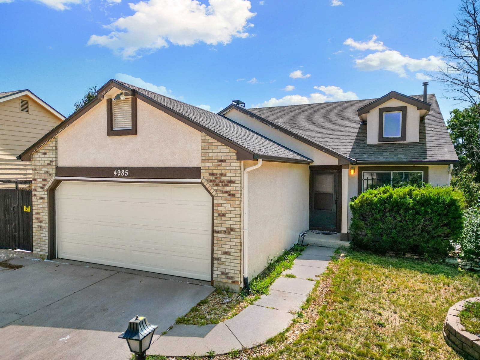
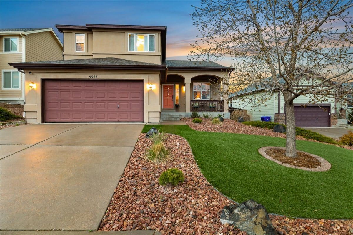
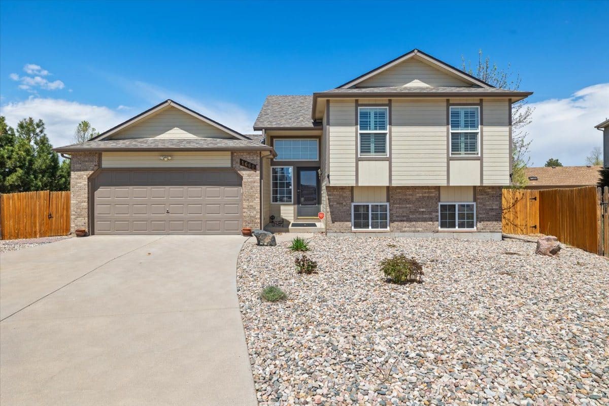
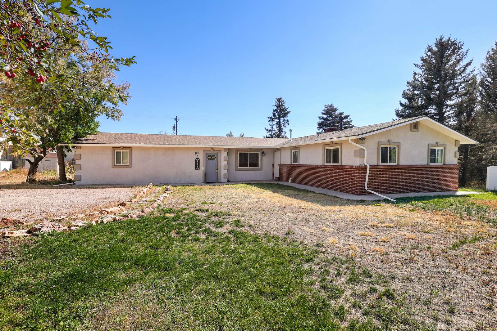
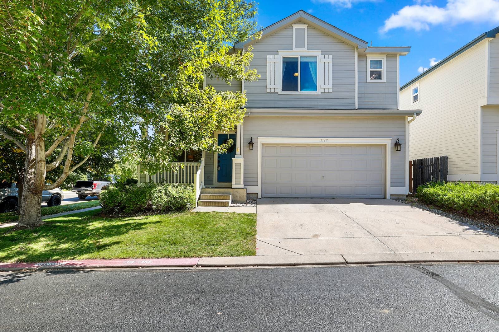
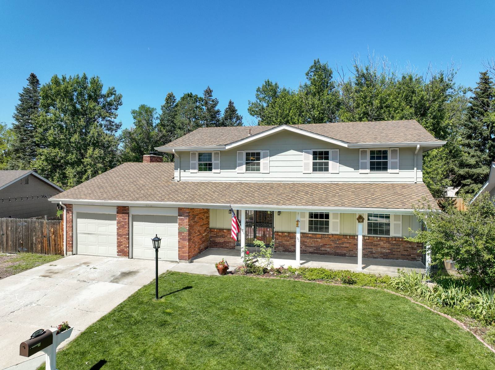
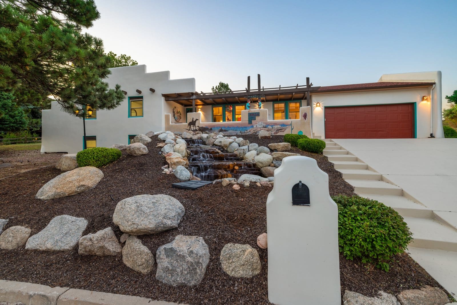
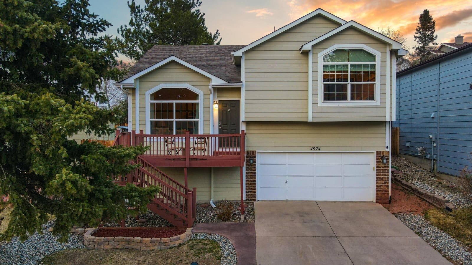
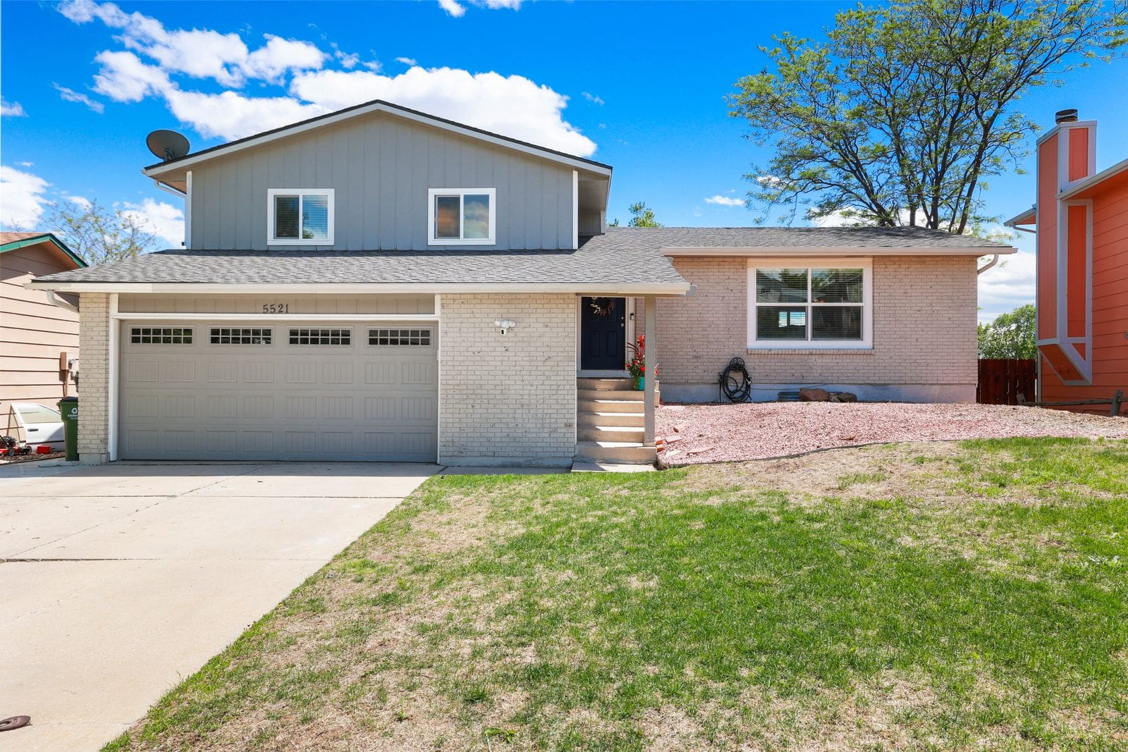
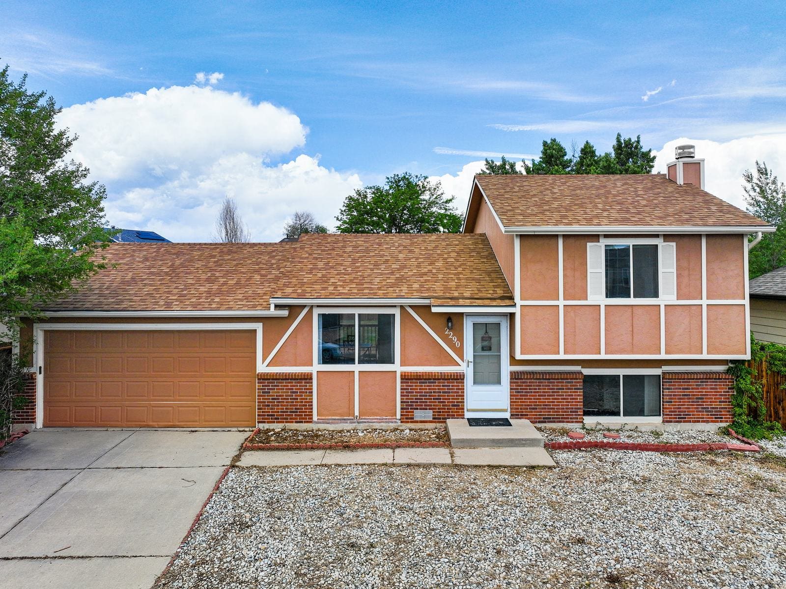
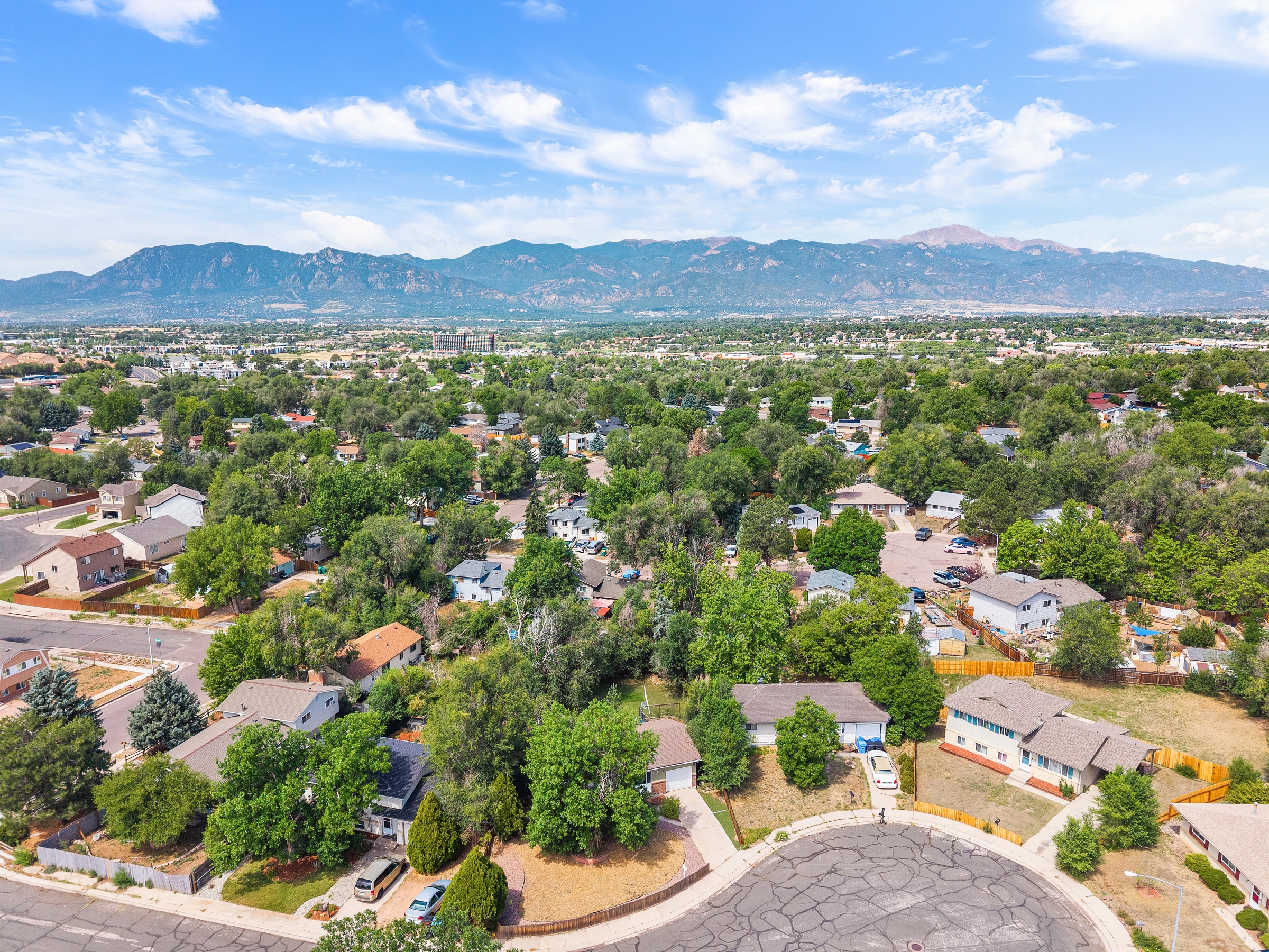
Village Seven is the best-known neighborhood. Construction started in 1968, which makes it one of the city’s earliest planned communities. Shepard Homes and Gendron Homes built many of its 1970s and 1980s bi-level, tri-level, ranch and two-story homes on cul-de-sacs, and mature aspens and evergreens planted by the first residents line the streets. Near Platte Avenue and Galley Road, the Patriot Park development built a section of the Sand Creek Trail.
Browse current Colorado Springs homes in this part of town, or call us for a tour of the neighborhoods that match your budget.
Powers Corridor South Population & Household Overview
About 73,500 people live in Powers Corridor South, in about 28,400 households. Families make up 67% of households, the average household has 2.6 people, and the median age is 34. About a third of adults (33%) hold a bachelor’s degree or higher, and the median household income is about $90,000. Owners occupy 72% of homes.
The median commute is about 22 minutes, and 71% of workers get to work in under 30. Powers Boulevard shares its route with US 24 between Fountain Boulevard and Platte Avenue, and CDOT finished most of its $46 million interchange at Powers and Airport Road in September 2026. Major employers nearby include Peterson Space Force Base, home to NORAD and U.S. Northern Command headquarters, and Peak Innovation Park, a 1,600-acre business park at the airport entrance with three Amazon facilities, Northrop Grumman and The Aerospace Corporation.
Everyday Life in Powers Corridor South
Peterson, the airport and Peak Innovation Park put major employers a short drive from home. In Village Seven you might live on a street called Carefree, Whimsical or Merriment. Weekends can mean a hike up High Chaparral, a Friday concert at First & Main or a visit to the Peterson Air and Space Museum, housed in a surviving World War II-era terminal building on the base.